Understanding The Role Of Surveyors In Construction Projects

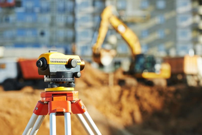
By: Kudakwashe Mugarisanwa “Land surveyors can spend as much time reading legislation, bylaws, and engineering documents as we spend in front of an instrument in the field or calculating coordinates for a subdivision. We are mathematicians, historians, project managers, advocates, engineers, and even chainsaw operators!” ~ Mark Mason Who Is A Surveyor? A surveyor measures […]

Understanding The Role Of Surveyors In Construction Projects Read More »

surveying profession

Precision and Innovation: The Future of Geomatics and Surveying

The surveying and geomatics profession has been going through technological changes from the traditional surveying methods to new advanced technologies like geographic information systems (GIS), LiDAR, drone surveying, etc. The future of geomatics and surveying is set for increased rapid innovations and transformations due to the growing demand of precise geospatial data. In this blog

Precision and Innovation: The Future of Geomatics and Surveying Read More »

drone mapping

5 Fatal Drone Mapping Mistakes You Should Never Make

Drone mapping has quietly transformed from a “nice tool” to the main method of collecting spatial data. Today, drones are used for engineering surveys, land development, agriculture, mining, environmental monitoring and construction projects across Africa and beyond. But here’s the truth that many people learn the hard way: ‘Owning a drone doesn’t make you a

5 Fatal Drone Mapping Mistakes You Should Never Make Read More »

Scroll to Top