
Failure to plan is planning to fail; drone flight planning is crucial to any flight operations. Planning involves many processes, including office and field planning, but a significant chunk of the planning must be done in the office or before going out to execute. Drone flight planning combines creativity, technical expertise, and preparation. Be prepared to adjust your plans based on real-time conditions as flexibility and adaptability are key to successful mission planning and execution.
Drone flight planning typically involves many areas: safety, legal compliance, and operational. Failure to plan often leads to disastrous consequences such as breaking the laws or regulations, drone crashes, re-fly, increased operational costs, etc. Below, we will look at the flight planning
Safety
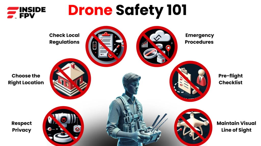
Chief among them all is the safety of all your drone operations. Ensure that you have conducted all the safety and risk assessments before engaging in your flights based on the location, nature of flights, equipment to be used, etc. The weather also plays an important role in the safety of your operations, including your temperature, wind speed, humidity, and other meteorological conditions. After that, you can look for ways to reduce the risks and improve the safety of your operations.
Legal Compliance
All drone operations should be legally compliant with the national and local area regulations of your intended area of operations. It refers to the licenses, permits, approvals, and restrictions that are needed for your safe drone operations. Restrictions often include the vertical and horizontal extent that you can go to depending on your license or organizational ratings, statutory instruments, or act. It is important that you ensure that you adhering to the legal requirements and that you are in sync with your authority.
Operational
Drone operations must be planned well to reduce the stress on the operation and leave situational headroom for emergency and unplanned occurrences. There is a need to plan for the budget, the team, logistics, and many other things that will be necessary in delivery of the projects or drone missions. All other factors necessary for the delivery of the missions must be considered that including pre and post-plans. What software and programs are you going to use for the deliverables and what kind of deliverables are you looking at?
Flight Plan
Last but not least is the flight plan; is it going to be an automated or manual flight? What drone flying or mapping application are you going to be using with examples of DJI Pilot 2, Agri Assistant, and DJI Smart Farm? There are many different applications you can use depending on the make and model of the drones but essentially they do more or less the same things. They allow you to set different flight parameters, and plan and execute the same flight plans or missions.
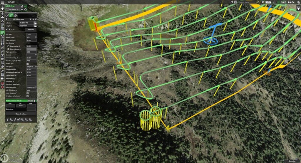
You can set parameters such as:
- Flight speed
- Overlap (side & frontal)
- Course angle or flight directions
- Flight Altitude (Terrain Follow, Above Take Off, etc)
- Camera Angle
- Different sensor settings
- Swath
- Different payload settings
- Etc
In your operational planning, you are also looking at the area to be mapped or surveyed, the level of detail or accuracy on deliverables, and choosing the right drone and camera or sensor for the task among many other operational considerations to ensure that the mission is a success.
In conclusion, remember that failure to plan is planning to fail. Ensure that you have adequately planned for your drone missions to ensure that they are a success.


