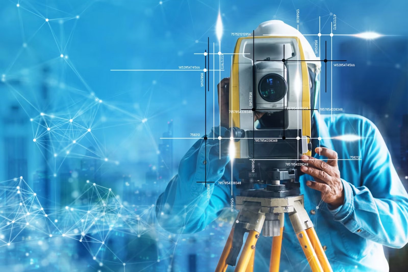
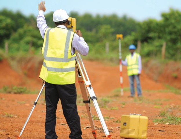
The surveying and geomatics profession has been going through technological changes from the traditional surveying methods to new advanced technologies like geographic information systems (GIS), LiDAR, drone surveying, etc. The future of geomatics and surveying is set for increased rapid innovations and transformations due to the growing demand of precise geospatial data. In this blog post, we are going to be looking at the evolution of the profession, tackling career opportunities, new technological advancements and the future of the industry.
Emerging Technologies in Surveying and Geomatics
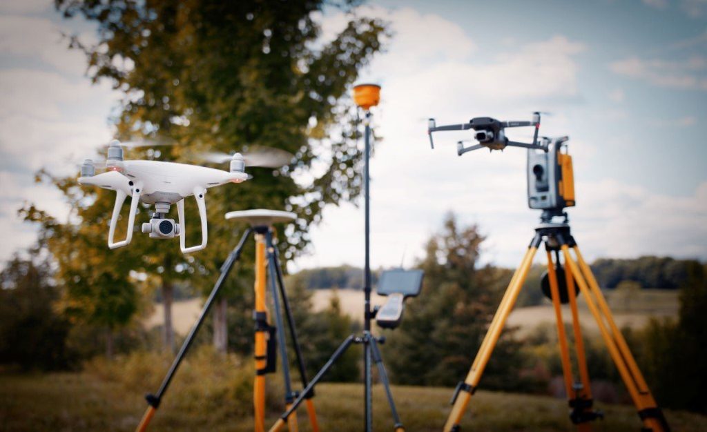
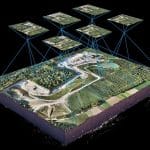
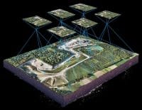
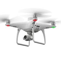
- Drone Surveying: Surveying has been transformed by Unmanned Aerial Vehicles (UAVs), which offer precise results and quick data collection. Due to their effectiveness, they have been widely used in many projects. You can drastically cut field expenses and data collection time by employing drone surveying. In engineering, topographic mapping, land surveying, remote sensing, GIS, mining, and construction, drones are useful instruments. Adopting drone technology can improve the effectiveness and success of your project.
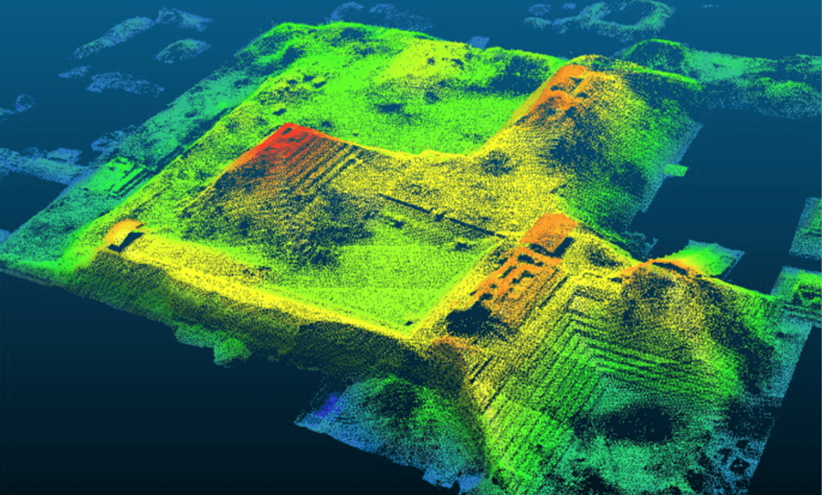
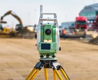
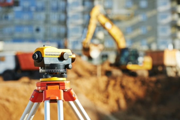
- LiDAR (Light Detection and Ranging): Geomatics and surveying are being transformed by LiDAR technology. A sensor measures the time it takes for high-precision laser light to travel to and return from a target in order to calculate distances. The accurate computation of three-dimensional positions (X, Y, Z) for every point is made possible by this data in conjunction with angular measurements. An accurate model of the surveyed area is produced by compiling these points into a detailed point cloud. LiDAR offers unmatched accuracy when combined with GPS, making it a crucial component of contemporary mapping and modelling systems.
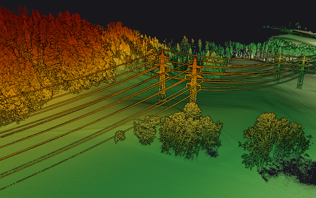
LiDAR ability to penetrate vegetation and get bare earth values has made it very valuable in forestry, environmental and topographic mapping. LiDAR sensors can be found and attached in different platforms such as: Airborne LiDAR, Bathymetric LiDAR, Terrestrial LiDAR and Mobile LiDAR.
According to statistical data from the United States Geological Survey (USGS), airborne LiDAR can have vertical accuracies of up to 10 centimetres. LiDAR is extremely accurate, with accuracies ranging from a few centimetres. Although it can be difficult to gather, terrestrial LiDAR is more accurate, with some studies showing accuracies of 2mm.
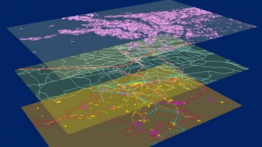
- GIS and Spatial Analysis: GIS involves the collection, analysis and visualization of spatial data to address many challenges such as in map making, land use analysis and studying population trends. GIS tools help users do many spatial analyses, like combining data layers, creating buffers, and measuring distances. This reveals patterns and relationships that aren’t clear from single data layers. GIS also allows for building spatial models to simulate processes and predict things like flood risks or urban growth.
- Artificial Intelligence (AI) and Machine Learning (ML): In the surveying and geomatics sector, artificial intelligence and machine learning are truly revolutionising data processing, decision-making, and task automation. By automating processes like data integration, cleaning, and analysis, artificial intelligence (AI) improves data processing speed and accuracy. It makes real-time analysis and predictive modelling possible and frees up human resources for strategic work. Processing various datasets from satellite and drone imagery, machine learning can be helpful in object detection and image recognition. It can then identify various objects, including trees, buildings, vehicles, vegetation, and their various classes, as well as detect changes in land uses, for instance.
AI and ML should complement surveyors rather than threaten them. They can identify errors and inconsistencies more easily than traditional methods, enhancing quality control and project efficiency. AI can also aid in environmental monitoring and smart city development.
When combined with GIS and conventional surveying techniques, these technologies improve surveying efficiency and broaden the scope of projects available to surveying and geomatics professionals, including urban infrastructure projects, international development, and mapping and monitoring.
Future Geomatics Career Opportunities
The future of the surveying profession hinges on a question: “What is its relevance to society or to a consumer?” Without relevance, one has no future. ——–Peter Newmarch
Just as any other profession, the surveying and geomatics also profession is evolving with rise of new technologies such AI and ML and the common fear is whether the professions are safe and how individuals can prepare for future roles and career opportunities. With the coming in of new technology, one has to move from the traditional way of doing things and embrace the new, exploiting the beauty and opportunities that come with newer technologies.
Despite usual career opportunities in geodesy, cadastral, engineering survey, mining surveying, remote sensing, photogrammetry, GIS, cartography, etc. there are new and future geomatics career opportunities coming in with artificial intelligence and machine learning in these areas:
- Growth in GIS Roles: Professionals in geomatics with expertise in spatial data analysis, GIS software, and programming are in greater demand as GIS and geospatial data grow. These abilities can be aided by a variety of geospatial software programs, coding, algorithms, and programming that facilitate quick decision-making or the analysis of large amounts of data, improving workflow efficiency.
- Data Science Integration: Geomatics professionals with skills in data science, programming, data analysis and processing will have a competitive advantage as more and more industries rely on big data, precise geospatial data.
- Surveying Drone Operators: As drone technology continues to gain traction in surveying, there is a growing demand of drone operators who can capture data for surveying and other purposes such as mapping, environmental and crop monitoring, 3D modelling and many others.
- Smart City Development: Geomatics professionals are well-positioned for numerous opportunities in smart city projects, including infrastructure development, inspections, monitoring, traffic management, geospatial analysis, trend monitoring, predictive modelling, digital twins, and 3D modelling, to mention a few. The concept of smart cities is becoming more and more popular in most countries.
As more industries recognize the value of spatial data, those with advanced skills in these and other areas will be positioned for career growth and stability.
Education and Training for Surveying and Geomatics Professionals
As the geomatics field continues to evolve, aspiring professionals need to stay ahead of industry trends by pursuing relevant academic programs and certifications.
- University and Higher Education Programs: As an inspiring geomatics professional you can enrol for a variety of programmes from certificates, diplomas and degree programs in surveying, GIS, remote sensing and geomatics engineering. There are many institutes and universities offering these programs such as Harare Polytechnic, University of Zimbabwe, Midlands State University, Zimbabwe School of Mines, University of Capetown, Gwanda State University etc.
- Certifications and Training: There are many certification programs that geomatics professional can pursue to stay ahead of technological advancements (e.g. drone certifications, software development, internet of things, machine learning, programming, data science). There are also other various trainings and certifications that you can get both paid for and free from websites and platforms such as Blue Marble Geographics, Esri Training, ITC (University of Twente’s Faculty of Geo-Information Science and Earth Observation),
- Continuous Learning: In the ever changing professional world, one ought never to stop learning and growing themselves, staying abreast with new knowledge, technology and skills.
Conclusion
With new technologies like drones, LiDAR, and AI enhancing accuracy, efficiency, and sustainability, the future of surveying and geomatics appears bright. For young professionals, there are numerous opportunities in the expanding fields of data science, smart cities, and GIS analysis. Geomatics experts will have an impact on surveying’s future by implementing these technologies.


