
- This event has passed.
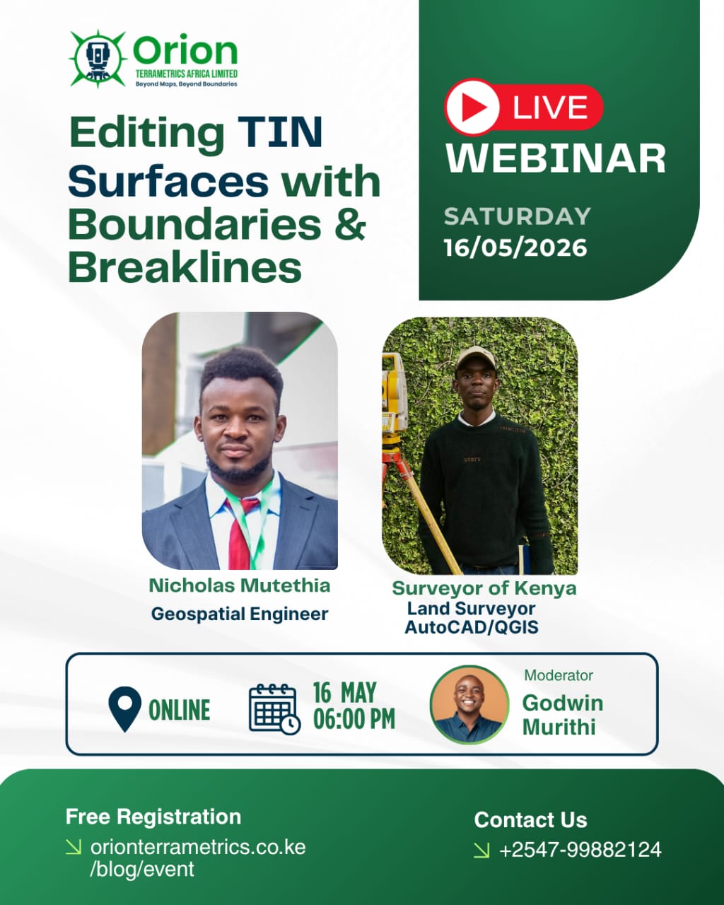
Webinar: Editing TIN Surfaces with Boundaries & Breaklines
Geospatial for Africa Series

As demand for high-precision terrain modeling continues to grow across engineering, infrastructure, and land development projects, the ability to accurately edit and refine surface models is becoming an essential skill for geospatial professionals. In this session of the Geospatial for Africa Series, Orion Terrametrics Africa presents a practical webinar on Editing TIN Surfaces with Boundaries and Breaklines.
Triangulated Irregular Network (TIN) surfaces are widely used in representing terrain, but their accuracy heavily depends on how well they are structured and maintained. This webinar will focus on advanced techniques for improving TIN surface quality using boundaries and breaklines—key elements that define terrain features, control surface behavior, and enhance the realism and usability of spatial models.
Participants will gain a deeper understanding of how to manage and edit TIN surfaces to meet real-world project requirements, particularly in surveying, civil engineering, and infrastructure planning contexts.
The session will be led by Nicholas Mutethia, a Geospatial Engineer and licensed Surveyor with hands-on experience in engineering surveying, terrain modeling, and geospatial data processing. With strong expertise in AutoCAD and QGIS, Nicholas brings practical insights from field and office workflows, bridging theory with real-world application.
What You Will Learn
- Fundamentals of TIN surface structures
- The role of boundaries in controlling surface extent
- Using breaklines to define terrain features and discontinuities
- Techniques for editing and refining TIN surfaces
- Improving accuracy for engineering and surveying applications
Event Details
Format: Online Webinar
Series: Geospatial for Africa Series
Host: Orion Terrametrics Africa
Speaker: Nicholas Mutethia, Geospatial Engineer & Licensed Surveyor