Home
Surveying
GIS
UAVs
Photo & RS
Geomatics Forum
News
Geo Tools
Coordinate Area & Volume Calculator
Lat Long Coordinate Converter
Drone GCP Planner
Search
Home
Surveying
GIS
UAVs
Photo & RS
Geomatics Forum
News
Geo Tools
Coordinate Area & Volume Calculator
Lat Long Coordinate Converter
Drone GCP Planner
Search
Home
Drone GCP Planner
Drone GCP Planner
🛰️ Drone GCP Auto-Planner
GCP Count:
Generate GCPs
Download KML
🛰️ Drone GCP Auto-Planner
GCP Count:
Generate GCPs
Download KML
Facebook
23k
Likes
93k
Follows
Instagram
32k
Follows
Pinterest
42k
Pin
YouTube
100k
Subscribers
Vimeo
89k
Followers
Latest Posts
UAVs
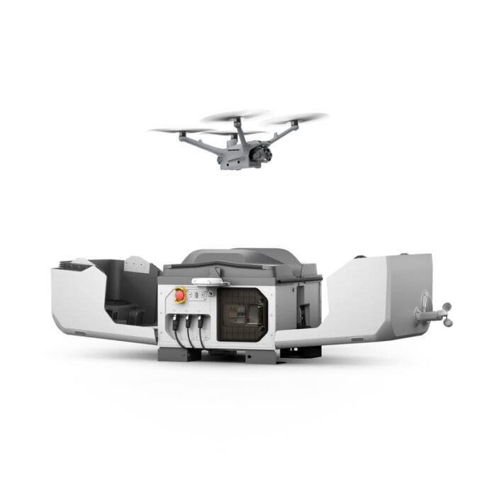
Drone Docking Stations Explained: The Future of Automated Drone Operations
Staff Writer
5 Mins read
News
Drones and Unmanned Aviation Systems Conference 2025: Preparations in Full Swing
1 Mins read
GIS
News
From Field Frustration to Innovation: How Tinotenda Dinhidza Created TGIS Collector for Remote GIS Work
3 Mins read
UAVs
Navigating the UAV Landscape in Ghana: RPL Licensing, Training, and Market Opportunities
1 Mins read
Surveying
Understanding The Role Of Surveyors In Construction Projects
3 Mins read
Surveying
Precision and Innovation: The Future of Geomatics and Surveying
5 Mins read
Home
Surveying
GIS
UAVs
Photo & RS
Geomatics Forum
News
Geo Tools
Coordinate Area & Volume Calculator
Lat Long Coordinate Converter
Drone GCP Planner
This Week
Monthly Newsletter
Subscribe and never miss any updates
I consent to the terms and conditions
© Copyright 2025 Geomatics Central. All rights reserved powered by
Geomatics Central


