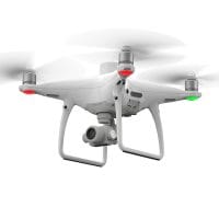
Drone mapping has quietly transformed from a “nice tool” to the main method of collecting spatial data. Today, drones are used for engineering surveys, land development, agriculture, mining, environmental monitoring and construction projects across Africa and beyond.
[geomatics_area_calc]
But here’s the truth that many people learn the hard way: ‘Owning a drone doesn’t make you a mapping professional.’
Every year, clients lose money, projects are delayed, and reputations are damaged because basic mapping principles are overlooked. Most of these failures don’t stem from equipment problems – they result from poor decisions, inadequate planning, and misunderstandings that could have been avoided.
This blog post breaks down the most common and costly drone mapping mistakes, explains why they happen, and shows you how to avoid them if you want to deliver work that customers can actually use and trust.
Table of Contents
Why Drone Mapping Fails (More Often Than People Admit)
Drone mapping lies at the centre of data processing, GIS, engineering, surveying, aviation, and mapping. That alone makes it unforgivable. A mistake at any stage – planning, flying, processing, or pricing – affects the result.
What makes things worse is that many of the drone outputs appear to be good. Colourful maps, intuitive 3D models and sharp images can conceal significant accuracy issues with ease.
By the time those problems are discovered, the project is already in serious trouble.
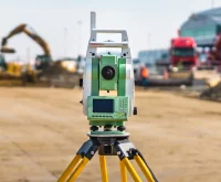
1. Ignoring accuracy requirements
Accuracy in mapping is not optional. That’s the whole point.
One of the most dangerous assumptions drone operators make is treating all projects the same. In reality, different projects demand very different levels of accuracy.
- Engineering and construction surveys often require centimeter-level accuracy.
- Cadastral and land administration work demands continuity with national coordination systems.
- Environmental monitoring or reconnaissance can tolerate lower accuracy.
- Volume calculations in mining or earthworks require reliable vertical accuracy.
A drone map can look impressive and still be inaccurate. A visually clean orthomosaic that is off by half a meter may be useless – or even dangerous – if it is used for design or construction.
Accuracy affects everything:
- flight altitude and gsd
- image overlap
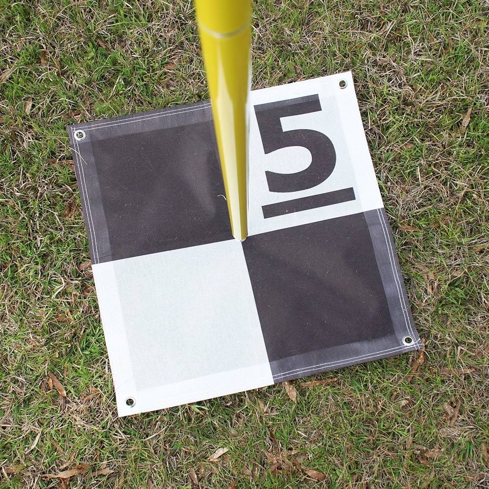
- Using GCP or RTK/PPK
- Processing Settings and Coordinate System
If you don’t define accuracy at the beginning, the project is already compromised.
2. Not Truly Understanding the Client’s Needs
This mistake causes more conflict than almost any other. Clients rarely speak in technical mapping language. They describe problems, not workflows. A client might say:
“I just need an aerial photo.”
What they may actually need is:
- A topographic map with contours
- A CAD-ready surface
- A volume report
- A GIS dataset aligned to a national grid
When drone mappers take instructions too literally, they deliver the wrong product — even if the data is technically correct.
A professional mapper asks better questions:
- What will the data be used for?
- Who will use it next?
- What software will it go into?
- What decisions depend on this map?
At times, your role involves not only providing data but also teaching the client. That initial discussion saves time, cost, and annoyance down the line.
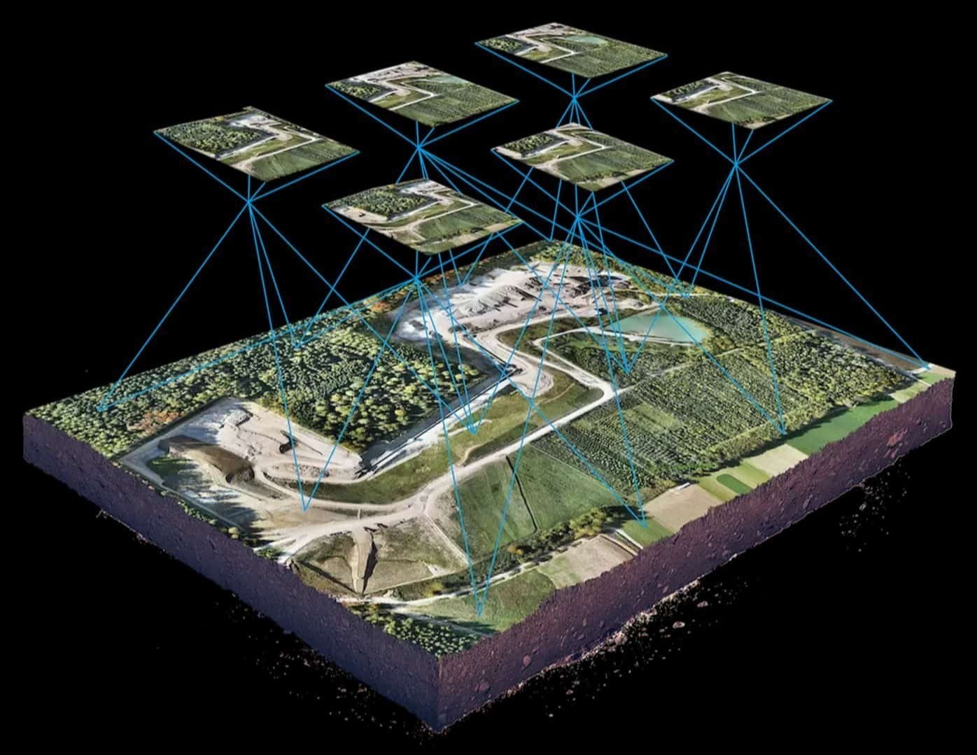
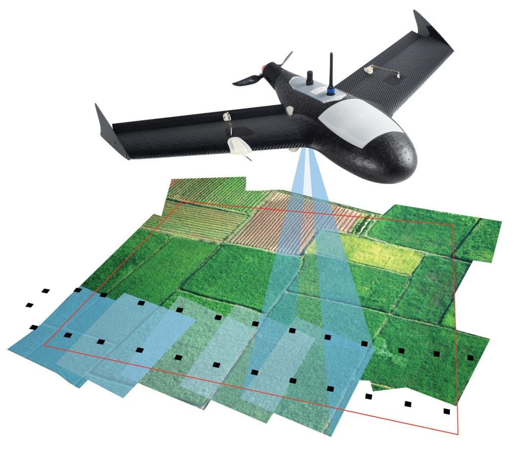
3. Poor or Inadequate Flight Planning
Good drone mapping is won or lost before the drone ever takes off.
Poor planning usually shows up as:
- Missing coverage
- Inconsistent lighting
- Motion blur
- Insufficient overlap
- Data that fails during processing
Professional flight planning considers:
- Correct altitude and overlap
- Terrain and obstacles
- Sun angle and weather
- Battery limitations
- Regulatory approvals
- Site access and safety
- Backup equipment and storage
Planning also includes time and budget realities. Rushed missions almost always lead to re-flights, which cost more than doing it properly the first time.
In mapping, slow and deliberate beats fast and carelessly every time.

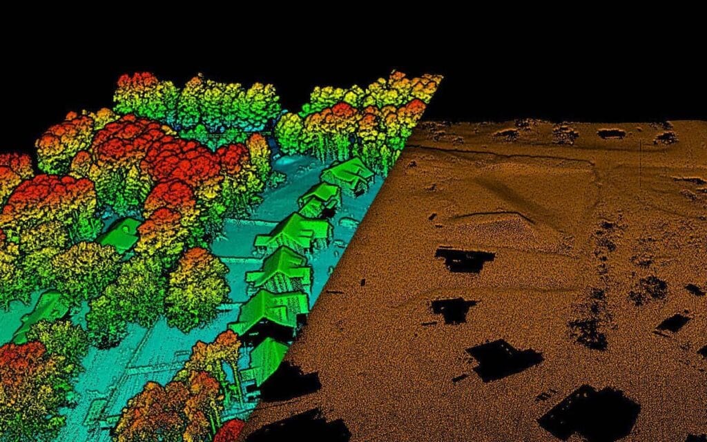
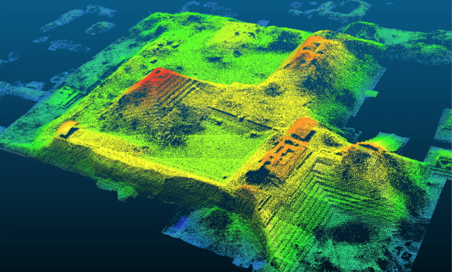
4. Treating data processing as an afterthought
Many people underestimate processing. This is a mistake.
Data processing is where raw images become useful information. This is also where many errors are introduced – wrong coordinate system, poor alignment, wrong quality settings, or skipped quality checks.
Professional processing requires:
- Reliable Photogrammetry Software
- Sufficient computing power
- Knowledge of projection and datum
- Quality control at every level
Cloud processing has made things easier, but it has not eliminated the need for skills. Software does not take the place of understanding. If you don’t know what settings to use or what errors to look for, the output will reflect that.
Processing isn’t just technical – it’s analytical.
5. Poor costing and undervaluing your work
This is where many drone businesses quietly fail.
Drones make data collection faster, but they don’t make professional mapping cheaper. When operators underprice projects, they usually cut corners without even realizing it.
Reasonable costs should include:
- Equipment depreciation
- Software Subscriptions
- Insurance and Licensing
- Field Time and Processing Time
- Travel, logistics, and overhead
When pricing is unrealistic, quality suffers. Worse, low pricing hurts the industry by setting false expectations for customers.
Business mapping supports real decisions – engineering design, financial investments and safety-critical functions. Its price should be accordingly.
Why These Mistakes Keep Happening
Most of these problems come from one thing: confusing drone flying with mapping.
Mapping is a discipline. It requires planning, accuracy, communication, processing skills, and accountability. The drone is just one tool in that chain.
Those who treat drone mapping seriously build trust, repeat clients, and long-term businesses. Those who don’t usually disappear after a few bad projects.
Frequently Asked Questions (FAQ)
Is drone mapping a professional surveying tool?
Drones for mapping are suitable for many survey applications if done properly. Additionally, the mapping must adhere to the accuracy standards, coordination systems, and quality control procedures accepted in the profession. Professional judgment is still involved in the process.
Are Ground Control Points (GCP) always required?
Not necessarily. The use of RTK and PPK systems can minimize or totally do away with the requirement for GCPs, but then again, GCPs will always be necessary for the quality assurance and verification processes, particularly in high-accuracy projects.
What are the reasons for the unsuccessful processing of drone maps sometimes?
Key factors include inadequate overlap, varying lighting conditions, motion blur, unreliable GPS data, and erroneous processing settings. Many failures stem from insufficient planning.
Which one is the best for drone mapping software?
There is no single “best” software. The correct option depends on the user’s workflow, accuracy and output requirements. The most crucial thing is to be able to correctly use the software.
What is the method of pricing for drone mapping?
Pricing should be based on the complete cost of producing reliable data — not merely flight time. Besides, requirements for accuracy, processing effort, risk and responsibility all play a crucial role.
Final Thoughts
Drone mapping is a process that enjoys the benefits of professionalism and suffers the drawbacks of shortcuts, so to speak. Technology is indeed powerful, but it definitely does not overlook any kind of negligence. Those who recognize this fact sooner manage to build a solid reputation and even a long-lasting business.
In case you are going to be very accurate, then you must also set up an open line of communication, make very detailed plans, conduct careful processing, and charge fairly, so that at the end, drone mapping will be respected and it will also be profitable for you.


